California's Census Designated Places
The U.S. Bureau of the Census keeps track of demographic, economic and population statistics and characteristics throughout the country. Their data can be sorted into geographic units such as states, cities, and counties. One such unit of measurement is a Census Designated Place (CDP), which the Bureau says is the statistical equivalent of an incorporated place that is an unincorporated community without a legally defined boundary or an active, functioning local governmental structure. The Bureau has an interactive map of all the Census-Designated Places in California. Data on specific topics for each of California's CDPs are available using the Bureau's data finder.
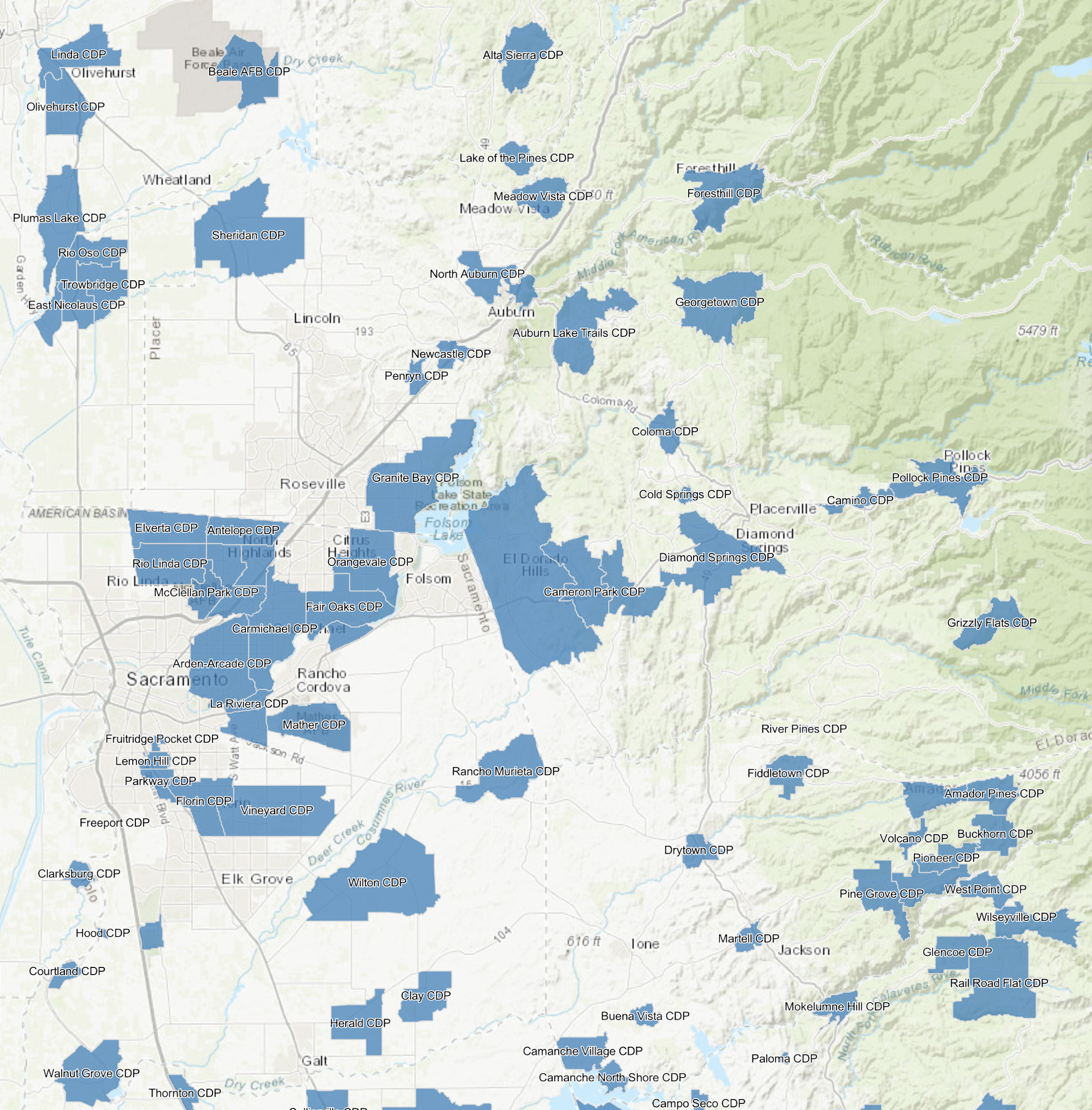
Census Designated Places in the Sacramento Metropolitan Area and the nearby foothills.